54°24'55" S
3°19'25" E
~0m asl
( - UTC/GMT+)
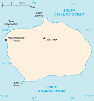
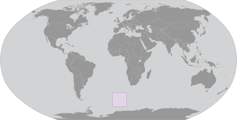
Wilhelmplataet (Wilhelmplatået) es un/una capa de hielo del domo (class H - Hidrográfica) en Bouvetoya (general) (Bouvet Island (general)), Isla Bouvet [ Noruega ] (Antarctica) con un código de región de Americas/Western Europe...
Wilhelmplatået se conoce también como Wilhelm II Plateau, Wilhelmplataet, Wilhelmplatået.
Sus coordenadas son 54°24'55" S y 3°19'25" E en formato DMS (grados, minutes, segundos) o -54.4153 y 3.32361 (en grados decimales). Su posición UTM es EV27 y su referencia Joint Operation Graphics es SN31-08.
La hora local actual es ; el sol sale a las 08:53 y se pone a las 21:00 hora local ( UTC/GMT+). La zona horaria de Wilhelmplataet es UTC/GMT+
En 2024 el horario de verano comienza el - y termina el -.
A Capa de hielo del domo es un área comparativamente elevado en una capa de hielo.
|
Advertisements:
Advertisements:
|
El tiempo Wilhelmplatået (Nubosidad, Temperatura, Velocidad del viento y Precipitación mm probab.)
Sat
Apr 27
0 °C min
1 °C max
35 km/h
Thu Jan 1
|
Sun
Apr 28
0 °C min
2 °C max
36 km/h
Thu Jan 1
|
Mon
Apr 29
0 °C min
2 °C max
32 km/h
Thu Jan 1
|
Tue
Apr 30
0 °C min
1 °C max
33 km/h
Thu Jan 1
|
Wed
May 1
0 °C min
2 °C max
33 km/h
Thu Jan 1
|
Thu
May 2
~3 l/m2 64%
1 °C min
2 °C max
35 km/h
Thu Jan 1
|
|
|
Wilhelm II Plateau (Bouvetoya (general)) 7 días de previsión
Mapa y Fotos Wilhelmplataet
--- No hay comentarios ---
Anade un comentario nuevo::
|
Login
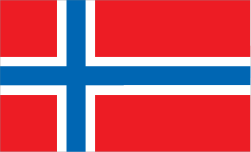
Isla Bouvet [ Noruega ] (Norway):
Advertisement
GPS puntos cerca de Wilhelmplatået
GPS puntos de Isla Bouvet [ Noruega ] (Norway)
|
 Mosby Peak (1 km)